Wolf Hill Forest Preserve in Smithfield, Rhode Island
Route: World War II Memorial Loop
Length: 5 miles Elevation: 456 ft Time: 2:45 Rated: easy to moderate
Dogs: yes Kid friendly: yes, skill and sense of adventure dependent
Date: 1-2-25
History: Originally part of Narragansett, Nipmuck, and Wampanoag territories, this area was inhabited and used for the rich resources of the Woonasquatucket river or: “at the end or head of the tidal river”. In all my reading, I could not find if there was an indigenous name for Wolf Hill, but this area overlooks many important historical sites in the area.
Wolf Hill Forest Preserve has been maintained as part of the Smithfield Land Trust since 2000. It was named for the ridge named “Wolf Hill” that cuts through the trail system and connects old roads that were present before 295 was constructed. In my reading about the history: wolves were a problem to early American settlers in the area. While the indigenous people of the time had lived in harmony with these pack hunters, the wave of immigrants who had not yet learned to live with them needed to protect their livestock. In true “American grit”; they eventually managed to eradicate Rhode Island of these beautiful creatures.
In 1943, a small plane crashed on this site killing three American servicemen traveling while on duty. The town of Smithfield crafted a memorial on the hill in 2009 and have since overhauled the entire trail system to what it is today.
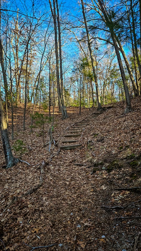
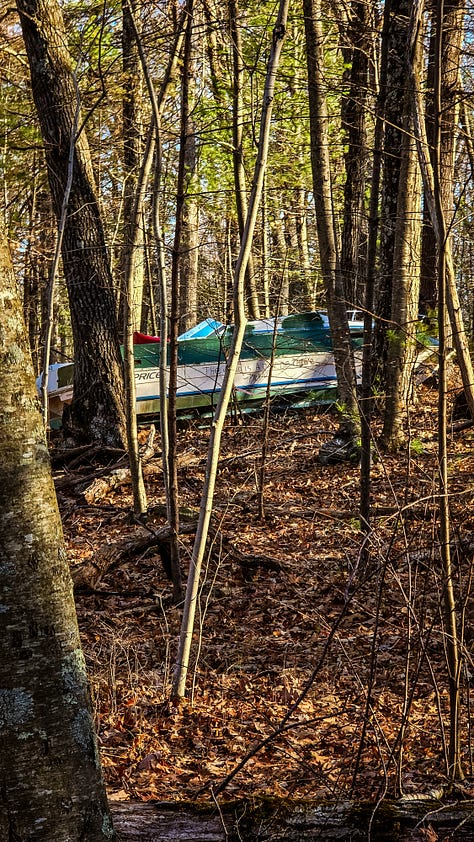
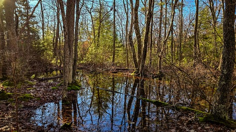
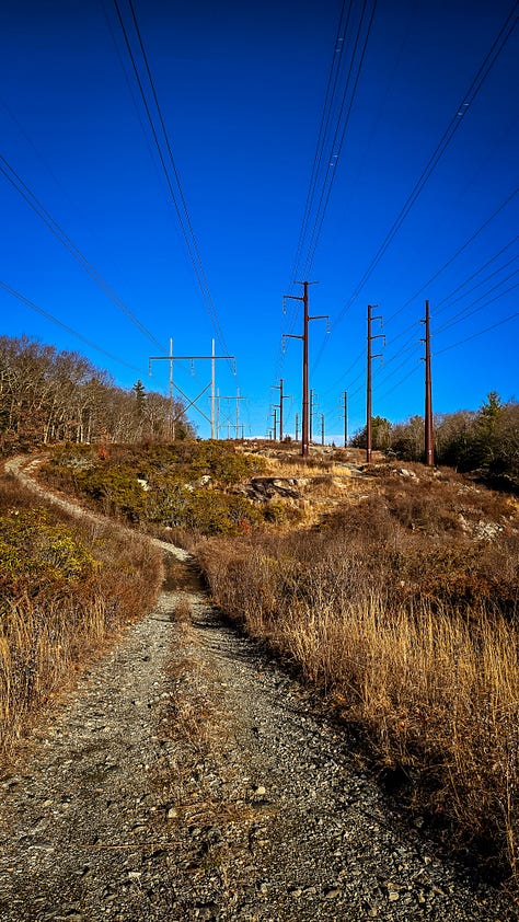
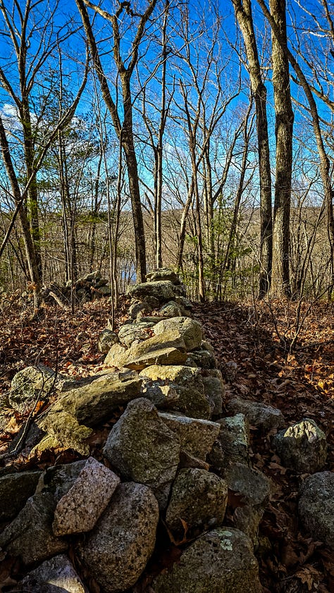
The hike: I started this hike off pretty strong, despite the immediate incline. Forest paths lead up the hill, intersecting with trails for a Forest School based in Northern RI which I found sweet and inviting. The early morning light is warm on a cold day, the trail is moving east so it’s lovely to see how the rising sun shines through the trees. Facing south, there are views of Woonasquatucket Resevoir, or Stump Pond as it is known today. To the north side of the trail there is private property, so while the very random boat and RV seem horrifyingly inviting; it’s probably best to stay away. After a vernal pool the trail opens up to a quintessential New England hike feature: the powerlines. After crossing these we are back into forest paths with rocky, rooty terrain; my favorite. Someone made a tree-pee. There is another memorial for a gentleman, who must have frequented here. As I crested Mercer Hill, I didn’t realize on the completely clear day - there views of Providence. What a nice surprise that was. It’s at this point, I start to lose steam, what goes up, must come down; and though the path was gentle - the pain in my legs was loud. I eventually found the infamous quarry that abuts the Forest Preserve, but alas, the walk down looked steep and I never would have made it back up. Post quarry, I was flanked by more bare trees and rambling stone walls. I was exhausted and that made for difficulty connecting to the moment and I was thrilled to have finally made it to the end at a full 5 miles. Thankfully, this was one of the longest mile lengths I’d be tackling for a while so getting it done for the first hike was helpful.
I enjoyed this walk, despite the personal difficulty. I would probably return in Spring or Summer when it’s all filled in, as in many of the trail descriptions it mentions the lush greens.
Thank you for being here with me,
Robyn







*not as an afterthought, for I’ll mention it every time - I visit these places with deep acknowledgement that there was a time in history that this land was free and inhabited by the Indigenous people of Rhode Island. Every hike and story, I hope to include pieces of their legacy - I cannot go back in time - but I am fully aware of the privilege I have to walk in these regions as I am today.


