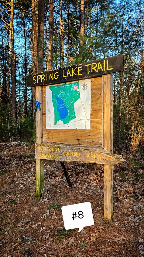
Spring Lake Trail at J.L. Curran Management Area, Cranston, Rhode Island
Route: Blue Trail
Length: 1.8 miles Elevation: 118 ft Time: 1 hr Rated: easy Dogs: yes Kids: yes
Date: 3-9-25
History: The Rhode Island we know today, was once home to thousands of generations of Indigenous People - who lived, worked, harvested, and hunted on the land. They took only what was necessary to survive. Rhode Island was a region teeming with resources due to it’s close proximity to saltwater, freshwater, and miles of forests. While this rings true today, the veneration between man and land was once an entire way of life.
The Narragansett Tribe was the primary resident of the area which is now Cranston, with some intermingling trade and community from the Wampanoags and Nipmucs. It’s an ideal location - close to saltwater and coastal plains, with freshwater streams, and dense forests. In years past, archeologists found multiple sights of Archaic Period sites along the Pawtuxet and Pocasset Rivers. The Archaic Period was more nomadic, but as the Woodland Period began (1000 BC to roughly 1000 CE) the indigenous peoples had incorporated farming into their culture. Farming gave the tribes a more stable, steady source of food and the ability to shelter in certain places for longer periods of time. When Roger Williams and his twelve “disciples” purchased much of this area in 1638 as the Providence Plantations, there was no less than six native villages of varying size competing with the settlers appetite for conquest. Sadly for these villages, previous encounters with English settlers had greatly weakened their populations with illness and inter-tribal relationships suffered under differing opinions about what to “do” with the English. The English would remain victorious in their quest.
In 1638, the first purchase secured Roger Williams as the first settler in the area. Two years later - the Pawtuxet Purchase acquired more land for the twelve, in what they called the “South Woods” around eastern parts of the Pawtuxet River. In 1662 the Meshanticut Purchase included what is now present day Cranston. This remained a part of Providence for almost one hundred years while settlers reaped the benefit of such fertile land, and resources from the freshwater rivers and coastal plains. After years of land and government disputes, in 1754, Cranston became its own organized entity, taking its name from a prominent family that were part of an early settlement. The village around Pawtuxet Falls was a thriving coastal community, while western areas of Cranston were farms and forests. In the 1850s, as Democratic government strengthened in the area, several parts of historical Cranston ceded into Providence in an attempt to gain more Republican control in the General Assembly. (It’s worth noting from this time to the Great Depression was be the last time Republicans had control of the Assembly, we are a *very* Democratic state)
Over the years Cranston developed into a strong presence in many ways - industry, coastal ventures, and urban dwellings for those who worked in Providence. The list of nationally registered historical homes, buildings, and sites is over ten pages long! The list could be longer, had modern progression not destroyed so many of the important indigenous land features, but some evidence of these ancient sites have been found in areas of Western Cranston. Similar to neighboring Johnston, Cranston is to this day a very polarized city due to its urban sprawl in the eastern portion, and farmlands and rural neighborhoods in the west. Living near here, I have most definitely seen first-hand the sort of rivalry and separation it has gleaned. When you know someone has grown up in Cranston - the first thing you ask is: East or West? What becomes of the conversation is dependent entirely on what the response is, and it is mildly amusing, especially for someone who didn’t grow up here. But that is small state living for you.
The hike: Spring Lake Trail is one of the few green spaces and trail system in Cranston besides a cemetery and two golf courses. It skirts along the Scituate border and Seven Mile Road. If you read my other instillations, Seven Mile Road/Line was one of the original borders of the English settlement land “purchased” from the Narragansett tribe.
In terms of information about this trail system, there is very little - no real trail names, or a digital footprint on AllTrails. In fact, it is technically a state park, but has yet to be added to the RI Parks website. Years ago the land around the reservoir was slated to be developed for houses, but the neighbors and the town worked to make it a state park and protected land. The effort to get this done was there, however since it was given state park status, not much development has happened.
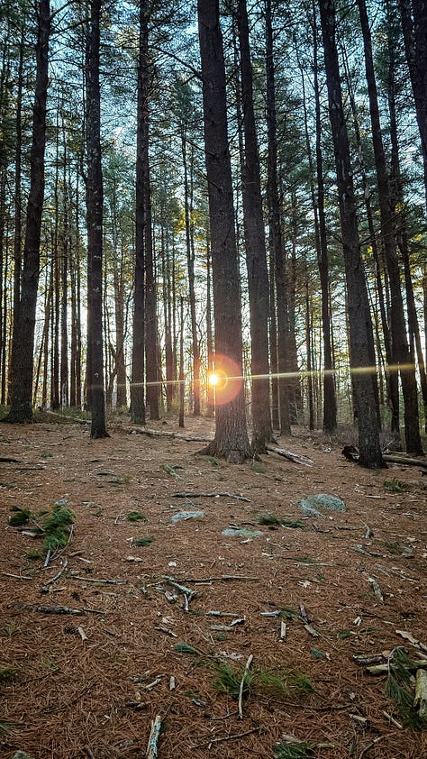
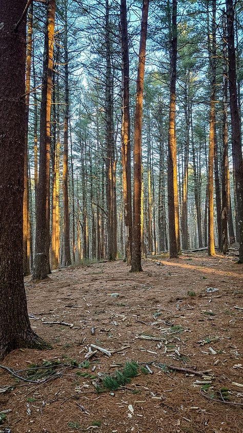
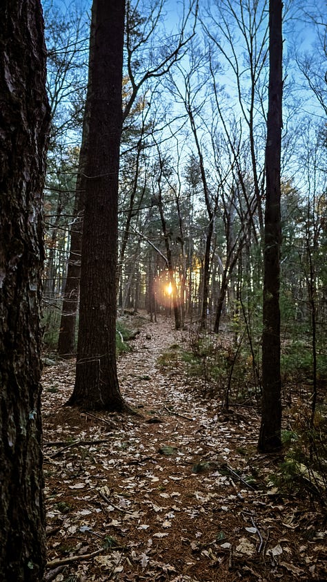
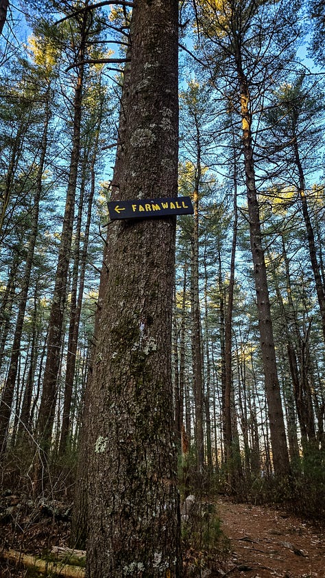
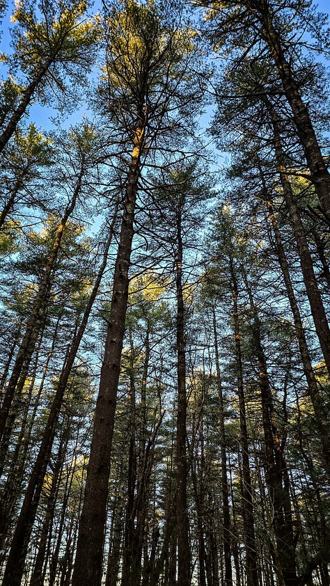
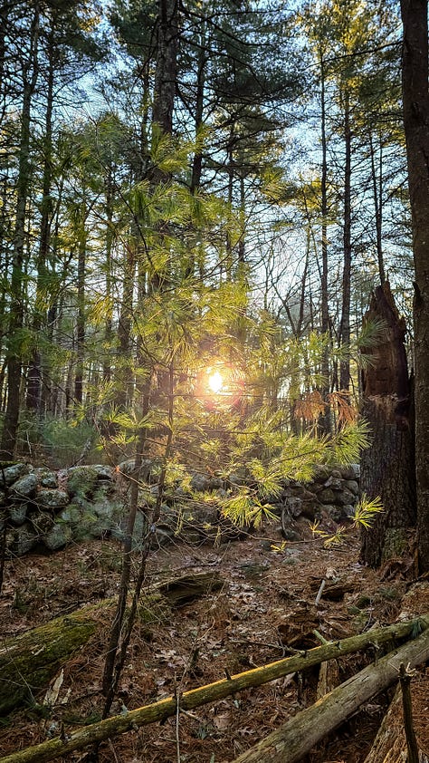
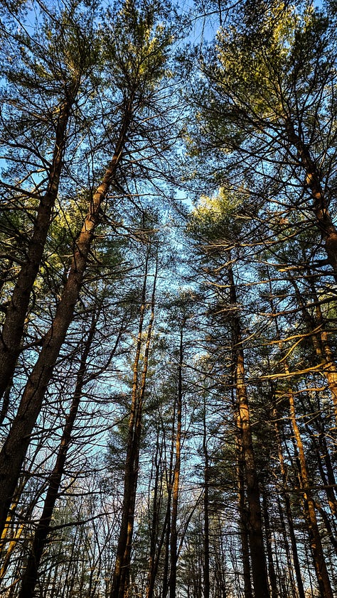
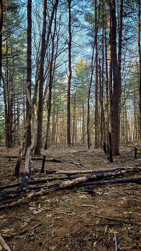
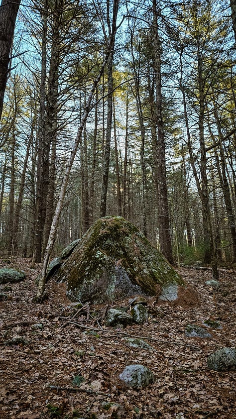
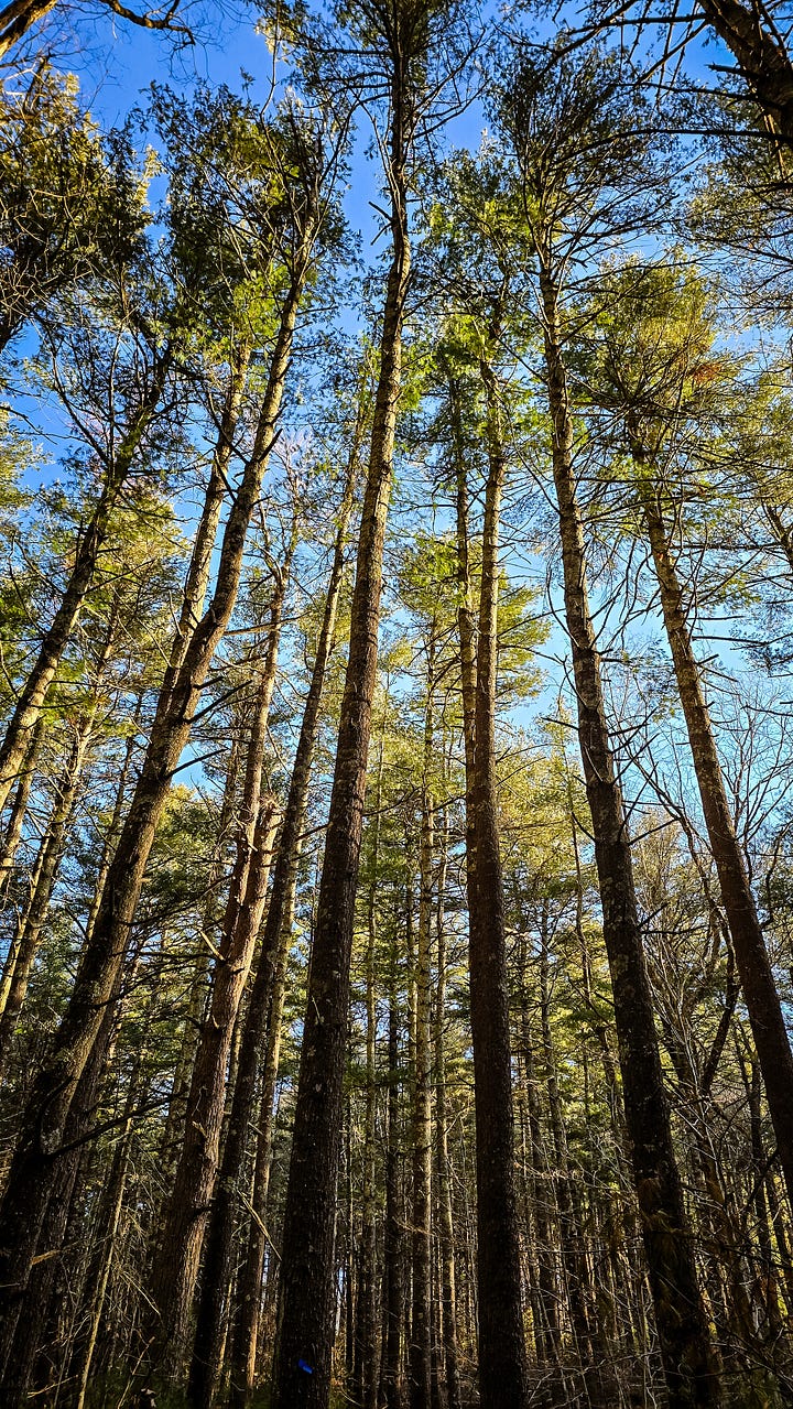
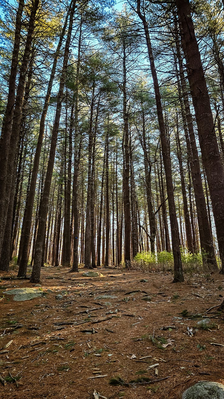
At the trailhead, I am greeted with a fairly vague sense of a trail winding through a section of gorgeous pines, spent needles carpeting the ground. The way the early morning light shone on the tree tops and through the trees was something special. The trail is marked with a few blue markers and meanders downhill through farm walls and trees. There is evidence of what could be lightening strikes in the trees, with charred remains and downed trunks strewn about - it seems like the forest barely escaped a brush fire. There was no smell, so I’m not sure it happened recently.
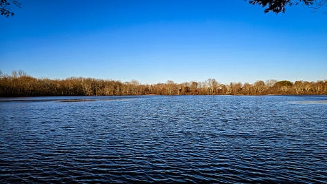
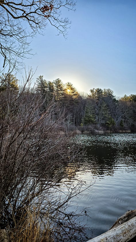
After passing a few more rambling walls I arrived at the Curran Reservoir. In spring and summer, it is stocked with trout for fishing, and residents can float a canoe or kayak through here. There are two sections to the reservoir, but I only stopped at the Lower portion for my walk. The lower reservoir is lovely, calm and bright. I spotted a Hooded merganser, which is a funny little duck with sharp contrasting colors on it’s head, I’ve never seen one of those in real life! Naturally, no picture did it justice, as soon as my feet touched the small outcropping for viewing, the ducks scattered. One of these days I’ll learn to walk silently.
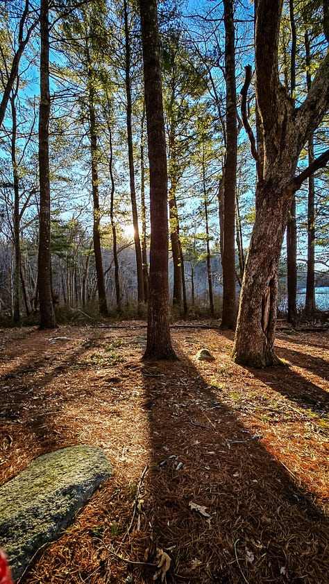
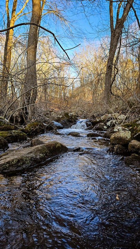
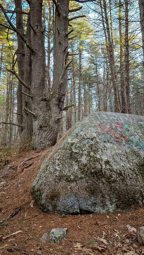
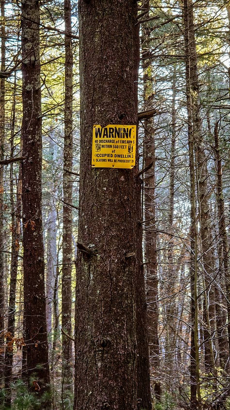
After walking along the shore of the reservoir the trail looses some of it’s obviousness, in rocky sections and tributary streams. The trees in this section are even more interesting as I go along. The lack of signage gave me pause a few times, but I have learned to trust my instincts more in the woods and usually come out fine in the end. The trail abruptly stops at Clarke Brooke, with some sort of a dam with a small waterfall, and power lines (of course!). A few signs were hanging reminding hunters to not fire within 500 feet of dwellings, thankfully, I am always wearing orange. It was a bit confusing, the trail moves west along the powerlines and while the land extends the other side - it seemed as though it is for bushwhacking, and I didn’t have it in me to explore. I found an opening and made my way back into the trees. I counted numerous boulders, and more pines, and more golden light shining through the trees. The trail makes its way back to the pine glen, and then back to the trailhead.
I really needed a short and gentle hike after a couple hard weeks, and this was the right choice. I absolutely would return here again, hopefully with time to explore; most definitely in the early morning because the light was simply divine. This is a great trail for children and beginners, as long as you’re confident in finding your way in some spots. I really hope the state develops this area. It would truly benefit from some trail cleanup, signage, and development to reach its full potential as a State Park. It’s possible though, the neighbors enjoy it being a more quiet location, so I will save my ideas for another time.
Thanks for being here with me.
much love,
Robyn





*I visit these places with deep acknowledgement that there was a time in history that this land was free and inhabited by the Indigenous people of Rhode Island. Every hike and story, I hope to include pieces of their legacy - I cannot go back in time - but I am fully aware of the privilege I have to walk in these regions as I am today.


I love the way you tell us the history of the area as well as express the joy of being free in nature. Thanks for the pictures too
The trees and the light are breathtaking