Rodman’s Hollow, New Shoreham (Block Island), Rhode Island
Route: no trail markers or names
Length: 2.73 miles Elevation: 236 ft Time: 1.5 hrs Rated: easy to moderate
Dogs: yes Kids: yes
Date: 6-9-25
History: A retreating glacier 27,000 to 13,000 years ago left terminal moraines behind, comprised of layers of sand, rock, sediment in a disorganized manner and laid the groundwork for modern day Block Island. This glacial retreat also formed its “cousins”: Long Island, Martha’s Vineyard, Nantucket, and the Cape Cod Islands. Well before water levels rose, these islands were once connected lands, with one theory suggesting Block and Long Island were actually once connected and the fancy term for what remains is a coastal archipelago. Block Island is a truly fine example of a terminal moraine, it’s variety of topography lends to the natural resources of the island. Pre-contact, the only threat to the lands were natural storms and erosion along the coastlines.
The original inhabitants were Eastern Niantic (formally Niantic), a close ally of the Narragansetts and they called the island Manisses or “little island”. Some say the Narragansetts called the island “little god”, referring to their great spirit Matinou - which lead to a corrupted translation that most prefer: “little gods island”. The Manisses sub-tribe was self-sufficient, relying on shellfish, hunting, and growing maize in coastal villages. Salt ponds and fresh water ponds dot the island, and there is otherwise only one other source of water through an aquifer layered underneath sediment. I didn’t read if they used wells - but it is interesting to learn about the topography anyways. There have been multiple archeological digs done which have found much evidence of their presence as far back as 500 BC. Researchers believe the villages weren’t nomadic like their mainland allies, but remained clustered around the salt ponds for easy access to resources.
While their existence on the island was mostly peaceful there is one battle between neighboring tribes that we know about because it happened near contact with European - somewhere around the mid 1500’s, it is said that Mohegan tribe warriors came to invade Manisses and were defeated by being driven off the towering bluffs on the southeastern side of the island. The bluffs are called Mohegan bluffs to this day, they are truly majestic and the image is synonymous with Block Island (don’t worry I took a picture).
The Island was first noted by Italian explorer Giovanni da Verrazzano in 1524 - it once was heavily forested and lush with wildlife and flora. Contact was made with the Wampanoag and Narragansett Peoples in the Narragansett Bay, but it wasn’t until Dutch explorer Adrian Block sailed here establishing more trade routes in 1614 that the first Europeans landed on the island. Relatively peaceful relations through trade continued through the next few years, until tensions between Niantic and Pequot tribes led to a split of the Niantics - those in the East allied with Narragansetts, to the west with the Pequots. It is believed that in 1632 Western Niantics murdered two English traders and as retribution the Eastern Niantic tribe was ordered by the Massachusetts Bay Colony to pay in beaver pelts and wampum. They sent a local expert, John Oldham who was also extremely problematic and brought trouble with him everywhere to retrieve the bounty. Not surprisingly, he ended up also being murdered and in retaliation the Bay Colony sent militia, who slaughtered 14 inhabitants, burned crops and several villages. Consequently, the Massachusetts Bay Colony laid claim to the land, forced the remaining Manisses to acknowledge this, the land was surveyed and utilized for agriculture and trading posts. As the indigenous population declined, the settler population grew. The island eventually fell under Rhode Island rule and was peacefully transferred to obliging farmers who settled there, established themselves as a town, and thrived.
For the next few decades the island remained a self-sustaining community. Much of the topography was altered by agriculture - no more sweeping forests, and the younger trees don’t grow tall. It wasn’t until the mid 1700’s that any sort of development occurred, with attempts to build a proper harbor to encourage marine industry. The project failed initially, but more attempts were made over the years with finally one being successful in the 1873. A rise in tourism led vacationers to the East Coast in droves and Block Island was able to capitalize on this phenomenon and change the trajectory of their island. Modern day threats still include coastal erosion and storms; but now their greatest threat is over-development, however the council and town charters are also very strict, sometimes to the detriment of business owners, but always on the side of preservation.
Modern day Block island is a quintessential New England town - with a charming downtown, vibrant beaches, and quiet pastoral settings further inland. It is seriously a must-see for any New Englander!
The hike: This hike was the first (probably only) hike done as a family. Truth be told, I don’t like hiking with other people - it’s not them, it’s me. Quiet time with wordless music in my ears and a camera in my hand and no one else to distract me is how I like to hike. I feel more connected that way, and the thought of having to “entertain” isn’t enjoyable to me. Logically I know that it’s not their fault, but its just how I am and that’s okay. We took the ferry over to the island that day to set up my artwork in a store for the summer - perfect timing, perfect day of the week where it was quiet, and a perfect day to play hooky from school for the kids.
It was a chilly rainy day, however, having the Jeep made it soooo much easier. The island is small, only about 10 sq miles, so not many people bring cars over - there are cars on island, taxis, and places to rent scooters or bicycles. Having the Jeep meant we didn’t have to worry about walking so much and we got to see more of the island that way.
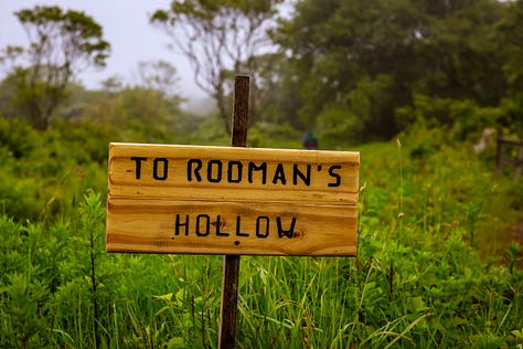
Rodman’s Hollow is 230 acres of what is called glacial outwash plains, formed in the last ice age, by the retreating glaciers. Science is so cool - I’m not equipped to explain it well but this page is chock full of information.
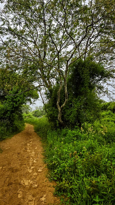
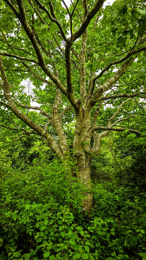
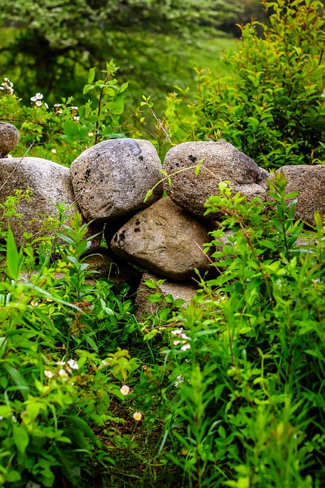
The trail begins with a sweet little coral pink mailbox where visitors can write trail notes, there is a stone wall denoting an old property line when the Rodman Family owned this land. Shrubberies line the small path, some blooming, some not yet - it is already so picturesque. I was almost glad to be here on a grey day, it makes a nice background for greens. The trail winds in a gentle descent, lined with trees and more native plants, I kept stopping for tiny little detail pictures. Naturally, this pace is too slow for others, so two of them went off on their own rather quickly, and then it became just me and my son walking along. The path turns slightly west, deeper into the trees and shrubs, with SO many flowers blooming. The foliage is gorgeous, just so green against the grey and misty rain. On AllTrails, the route leads you back up into the hollow, but in a small effort to find the others, we continued down towards Black Rock Beach.
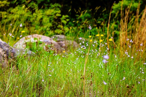
This path opens up a little into small wildflower meadows and stone walls - this is what hiking in spring is all about, I am still dreaming about those tiny flowers and rocks. At Black Rock Beach, you aren’t really on the beach yet, you’re on the bluffs - there is a small path that brings you to an overlook or you can climb down the bluffs on a rocky spillover. We opted to stay up high and were rewarded with panoramic views of a foggy, yet beautiful ocean. The bluffs are gorgeous, the grey sky and teal blue waves are amazing, I can’t say enough about this. It added a lot of time to the walk, but it was worth it.
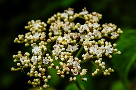
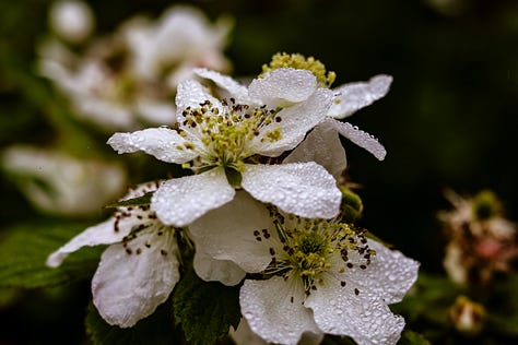
We turned around here, there are spur trails and a road you can walk to but we went back the way we came to be able to finish the hike - this is a bit tricky with the uphill battle, the terrain is rather rocky. There is an amazing mix of twisted trees, dense shrubs, and tiny little flowers, so far I have seen: arrowwood, thistles, asters, multiflora roses, and one other I can’t quite place. (I wish I was better at plant IDing)
The path thins as we head back up the hill, trees are close and we were all wet from the misty rain. I love the look of the trees here, so twisty and worn, so many stories to tell in their scars - I can only imagine how many have walked through there before us. AllTrails pinpoints where the “hollow” is, but it all kind of looked similar in its beauty to me - have I mentioned it was a beautiful trail? I was pretty drained by the end, walking up the hill, thankfully my son was there to distract me with video game prattle and complaints that echoed my own thoughts. We made it to the end however, and got to dry off in the car - I am so glad I got to do this hike - checking off an island experience and a hike is a privilege for certain.
If you get the chance to visit the island, I do highly recommend this one. There isn’t much shade on the island as a whole and on a summers day it can be HOT and unforgiving so the shady trees and fresh greens can be a welcome respite. Plus the views are stunning. To get to the island from a local spot, you need to buy ferry tickets that depart from Narragansett or Newport. There are also flights out of Westerly, Rhode Island too. It truly is a magical place - it should be a part of every Rhode Islanders spring or summer, and I can’t wait to plan my return trip to pick up what is left of my artwork.
Thanks for being here with me,
Robyn ✨









*I visit these places with deep acknowledgement that there was a time in history that this land was free and inhabited by the Indigenous people of Rhode Island. Every hike and story, I hope to include pieces of their legacy - I cannot go back in time - but I am fully aware of the privilege I have to walk in these regions as I am today.


This is interesting, and lovely shots, Robyn. There are so many places I want to visit when I get to the US.
I'm a bit biased, but New England is amazing 🙏🙏🙏