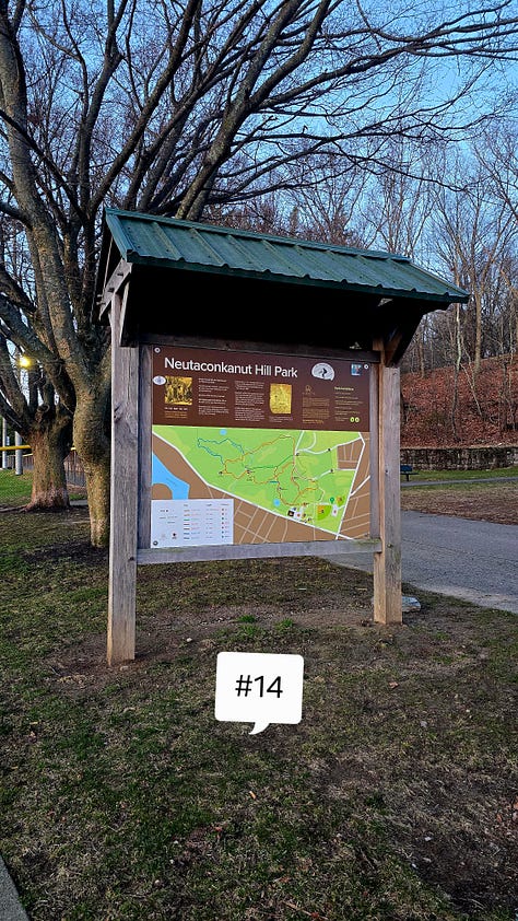
Neutaconkanut Hill Park, Providence, Rhode Island
Route: Pinnicale, Hickory, Monument, and Blueberry Trail
Length: 2.31 miles Elevation: 328 ft Time: 1.2 hrs Rated: moderate
Dogs: yes Kids: yes
Date: 4-10-25
History: Providence, Rhode Island is our states capitol, and since it was the location of the original settlement in the mid-1600’s there is too much history to be told - I will be limiting myself to include only history about the area around the park.
Thousands of years ago, the coastline of present day Rhode Island looked much different, with more land mass than what our tiny state encompasses now. The indigenous people roamed this area freely, with evidence of their presence that dates back to the Early Archaic Period. The climate in this area and timeline was more harsh, which led to a nomadic way of life, following the food sources. As the region warmed and sea levels rose, these nomadic peoples retreated further inland and eventually were able to harvest a source of food “The Three Sisters” or corn, beans, and squash. The area around Providence was a prime location for sustaining the indigenous people. The soil was fertile, fresh water rivers provided fish and the ability to harvest grasses and hemp, salt water coastal plains provided fish and birds for meat. Tributary rivers spilled out to present day Providence and Seekonk Rivers, multiple coves and rocky shorelines provided transportation and defense. Spring and summers were spent in coastal villages, and fall to winter was spent further inland. Eventually these people organized themselves to become the Algonquins, with many subtribes, one of them being the Narragansetts who lived in this area around Providence, sharing resources with the Nipmucs and Wampanoags when first contacts from Europe arrived.
It is important to note, that previous contacts with Europeans in the early 1600’s had decimated the populations of the Wampanoags, allowing many territories around the north eastern settlements to be “free” of protesting inhabitants.
The Narragansetts who lived in the present day Providence area were quite established in their way of life. It is said that when the English settlers arrived after being expelled from both Plymouth and Seekconke land, it is said there were at least six separate villages just inland from the rivers, one being around Mashapoug Pond. The area that Neutaconkanut Hill encompasses became an important location for the Narragansett people. The granite outcroppings and quick elevation were better to defend from. When one stands on the top of the hill a sweeping view of the land is provided, which allowed for advance warning for visitors or enemies. A fresh water stream bubbled through the land. Boulders were used as drums, evidence of tools and a religious effigy was also found. Years and years of tribal meetings and ceremonies were performed there, with one boulder even being a sort of throne for the sachems.
Roger Williams, who had already developed a relationship with two Narragansett sachems Canonicus and Miantonomi, was looking for land for his disciples and when he sailed into Providence, he saw the potential for success in a settlement. Williams was a sort of pioneer of his time, and while he wasn’t a faultless man, he did forge a strong friendship and alliance with the Narragansett people; he learned their language and culture. And while he did not stop his companions from the eventual expulsion of the Narragansetts, he did make attempts to advocate for their alliance. It was on this hill, on March 24, 1637 that the deed for the Providence Plantations was signed. The original Providence Plantations boundary stretched from the lands at the mouth of the Moshassuck River, north towards Pawtucket Falls, and west at the Hill. In the next few years encroachment from the settlers started multiple conflicts in re-establishing property lines and boundaries, with a soon to be prominent Borden family claiming the land on and around the hill. There is evidence of corruption with the original deed quality and truthfulness, as it was found later with portions manipulated and changed for favor of the settlers. What those Englishmen ever promised the Narragansett people originally, we will never really know today.
Over the years, with such access to resources, this farm flourished. The Borden family kept it for years, until a descendent married into the King family, and then eventually in the early 1900’s it was bequeathed to the city of Providence to become a city park. It is said, the commission was inspired by a visit to the Worlds Fair in Chicago, and wanted to create a place of rest and recreation in a very urban and impoverished area. While the recreation has changed over the years (there was a ski hill!), the City of Providence remains committed to maintaining the beauty of this once sacred land.
The hike: I truly did not know what to expect here, I had been to other parks around Providence before, but this was never on my radar. I had seen a few photographer friends post pictures of the sunrise though, so I knew I wanted to go for that time. The park is situated in an urban area on the outskirts of the city in a neighborhood called Silver Lake. There are baseball fields and a skate park here - I parked near the baseball fields and started at the main trailhead.
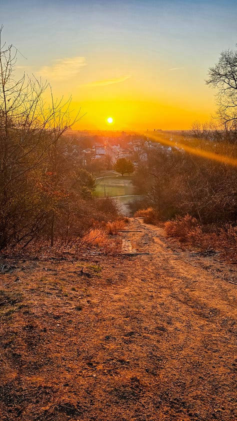
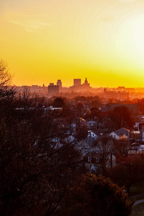
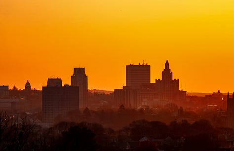
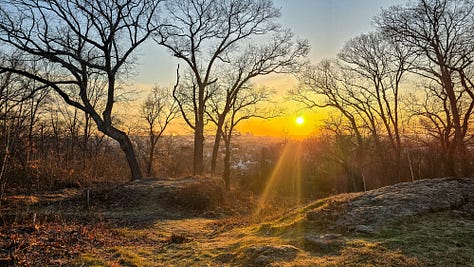
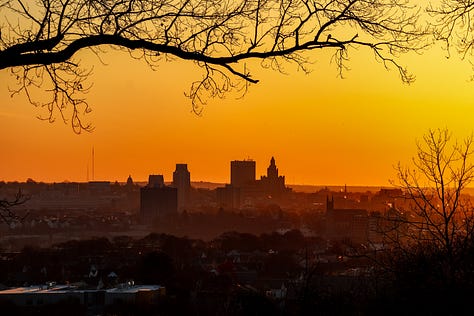
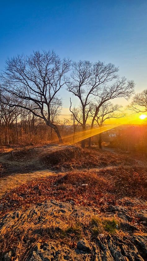
The initial part of this trail is a paved path on an incline, remnants of the former recreational activities done here and then it cuts a little west to stairs, I hate stairs, and then up more stairs to the top of the ski slope. It is here that I saw a group of friendly ladies crushing it on an early morning workout, they had no problem going up, I was half dead on arrival. The sun was just beginning to peak over the distant horizon past a cluster of Rhode Island sized skyscrapers. And what a view I was treated to. The orange and gold glow was the most phenomenal scene I had seen in quite awhile. I snagged a few pictures here and then went up *more* stairs. There are stone benches up here where one can pause for reflection, where current Narragansett tribal members hold modern day ceremonies and meetings and where I was treated to more of the golden orange glow. A family of deer grazed at the edge of the trees beyond the hill. The sun spread through the trees and over the benches. I now knew how special this place is, and after reading about its history - I wondered why they ever let it go.
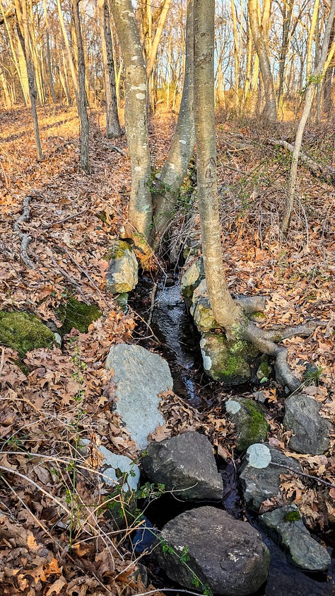
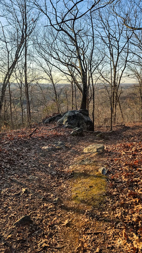
After unwillingly walking away from the view, the trail cuts around a paved road and reaches the actual summit of a tiny but mighty 290 feet above sea level. A granite slab greets me and the path veers towards the woods. The landscape here is quiet and serene, with packed dirt and a younger Hickory and Oak trees. The Hidden Spring is visible, with rock walls furthering access to the fresh water. The deer family has made their way ahead of me into a swamp, they paused their nibbling to watch me watch them. If only they knew I’m a friendly!
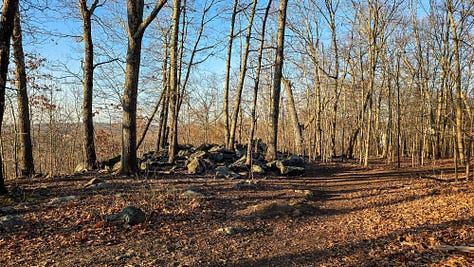
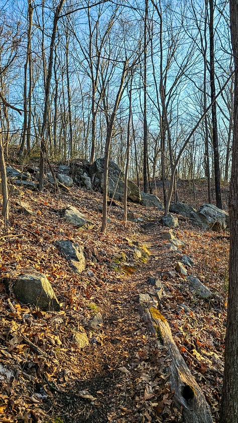
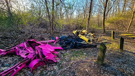
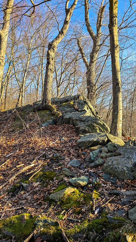
The path then winds towards the ledges on the western side of the park, with old farm walls and granite rock piles, you have to wonder how on earth these families managed to make this land a farm. There is a monument dedicated to the King Family, and another access point to the spring. A trio of abandoned cars lay on the side of the path, painted in neon colors as a submission to the thought they were now part of the landscape. As the edge of the ledges gets closer, a lookout bridge and bench were installed with…. interesting city views. I reached the highest outcropping there - which probably served as a lookout point for the western side of the hill. More stone walls and granite deposits line the trail - and I am still wondering, how they made this land work. The environment here is so peaceful, even being in a city, it feels like a deep wooded retreat - what a spectacular gem I am hiking through.
There is a primitive set of stone steps leading me down a hill and through more tree lined paths until I am again, met with the ski slope view, and then finally making it back to my car.
I am so glad I was able to do this hike. What a gorgeous, underrated space. The city of Providence has done a wonderful job with maitenence, signage, and historical facts along the way. I truly felt the energy of the past here - I could feel both the ache of loss and peace in what used to be a sacred place. I can only imagine the continuous pain that is felt by losing such a beautful piece of your culture, and while it isn’t a true effective conslelation, the park is still standin as a place of respite from a busy world.
This is a wonderful park filled with history, perfect for adventurous kids and dogs to climb rocks and have great views. I rated this as moderate for the steepness of the inclines, and frequency of rocks slabs and uneven terrain. Probably not one for someone more unsteady than me. I will absolutely return to this hike.
Thanks for being here with me,
Robyn ✨





*I visit these places with deep acknowledgement that there was a time in history that this land was free and inhabited by the Indigenous people of Rhode Island. Every hike and story, I hope to include pieces of their legacy - I cannot go back in time - but I am fully aware of the privilege I have to walk in these regions as I am today.


