Hayfield Property, Foster, Rhode Island
Route: Yellow, Red, and Blue trails
Length: 2 miles Elevation: 187 ft Time: 1.5 hrs Rated: easy Dogs: yes Kid friendly: yes
Date: 2-23-25
History: Thousands of years ago - the Indigenous people of Rhode Island roamed these lands, settling in different areas with the seasons and forming their own territories to thrive and grow. The area of what is now Foster had once been a boundary between the mighty Narragansett People and the Nipmucs. These tribes paid tribute to each other - the Nipmucs traveled to the shore, fishing and gathering shellfish for the summers - and the Narragansetts traveled inland to the more dense forests to do their hunting and spend winters inland. The Ponaganset River was where they processed oysters and a waiting place, as the name translates to in the Narragansett language.
As it was in all colonial history of Rhode Island - once Providence was settled - their territory was not enough. In 1659, in three separate purchases, the Providence colony acquired lands extending from the Seven Mile Line all the way to the 20 Mile Line (now Connecticut border) in an attempt to rid the land of its Indigenous People. Because of the number of miles in between the original Providence settlement and this area - it was first called “Providence Woods” or, “The Outlands”. A second purchase (Westconnaug area or Wishquatnoqke as it were) took place in 1662, forming what would then be the southern portion of Foster - which was bought by William Vaughan, a prominent settler of his time and is still remembered today. After the end of King Phillips War more land was divided and purchased for the colony. Settlement in this area was rather slow going, the land being rugged and difficult to work with and so much work needed East with ship building and development; but when Connecticut started setting eyes on it, the issue was pressed and in 1708, Providence Proprietors made their boundaries known. Scituate became its own entity in 1730, and then in 1781, Foster broke out into their own.
The land remained rugged for much of its history. Farming was a difficult venture with merely “tolerable” soil, and clearing lands was an insurmountable job. The area that this hike is in has a rich history of mill industry, due to its proximity to the Ponaganset River. The land was first purchased by Thomas Hopkins, and then worked and developed by his sons. While there are many streams and rivers in Foster, only a few were suitable for mills to thrive. Many prominent families did manage to make something of themselves in these little hamlets, or villages around Foster.
For a few hundred years, Foster remained a wilderness, still the “Outlands” and it’s comical to think that even in 2025 - it is much the same. Growth in Foster was slow all along - mill industry was not as lucrative here and it was so “far out” from civilization it wasn’t attractive to live there, for most of the jobs were seafaring and factory along more prosperous waterways. Despite this, Foster maintains an impressive array of historical homes and sites, at least one archeological site even being a from the Middle Woodland period of 300-1500 AD. This wilderness identity is what makes Foster so wonderful today - in just scanning town records of ages past - they have always worked to maintain their country roots. I have to wonder if one of the reasons Rhode Islanders don’t like to drive long distances somehow stems from this colonial era. 😉
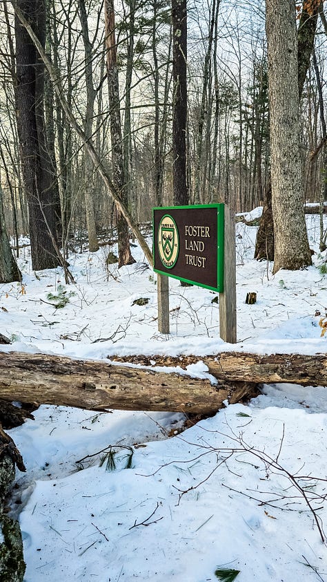
The hike: The morning I started off for this hike was a sneakily beautiful day - it began with overcast clouds plus a burst of quick color, but that changed by the time I arrived at the tiny parking lot. I had honestly never heard of this trail system, and even worse never really go to Foster (I know, I know). Their Land Trust offers 7 different rural areas that feature walking trails and history - I had my sight set on Hayfield for reasons no other than…. It seemed easy. I didn’t expect very much actually - not a lot of information on AllTrails, but I saw some green pics and even though I was going in the winter, I like to see potential in a hike.
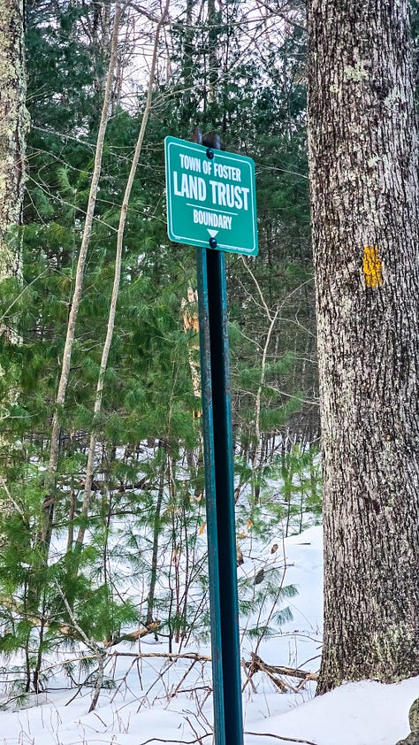
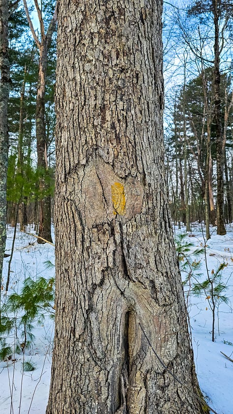
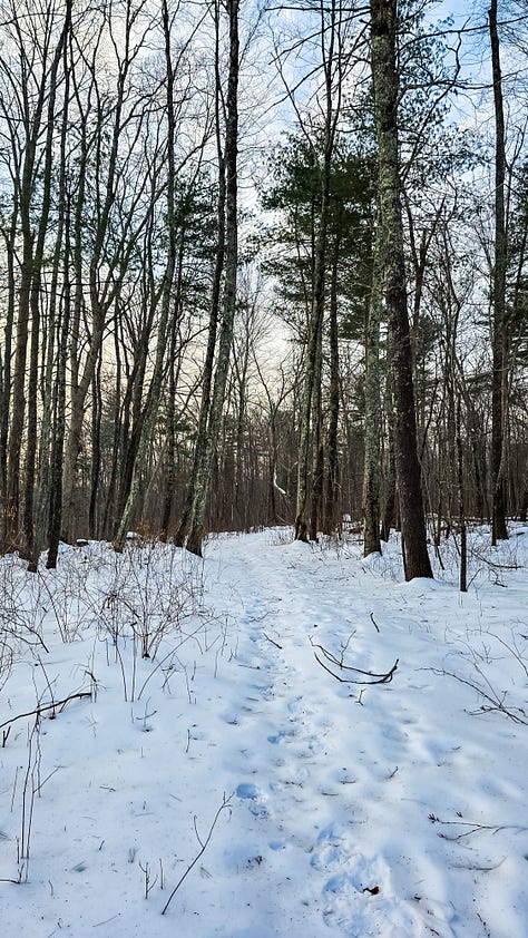
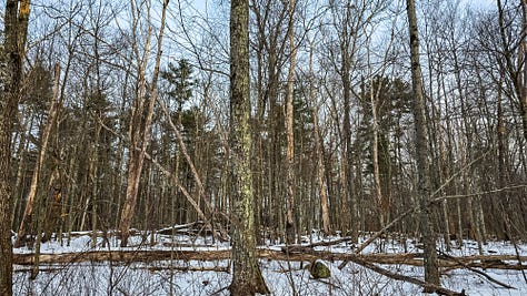
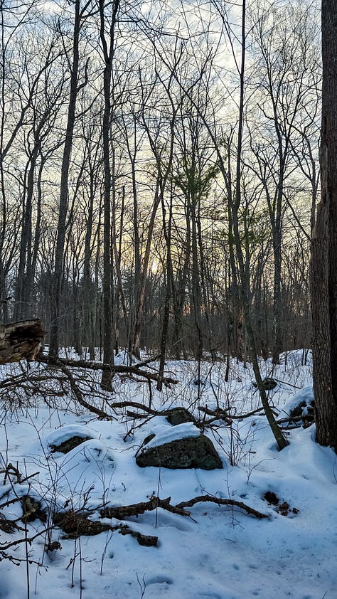
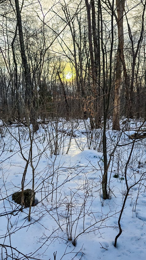
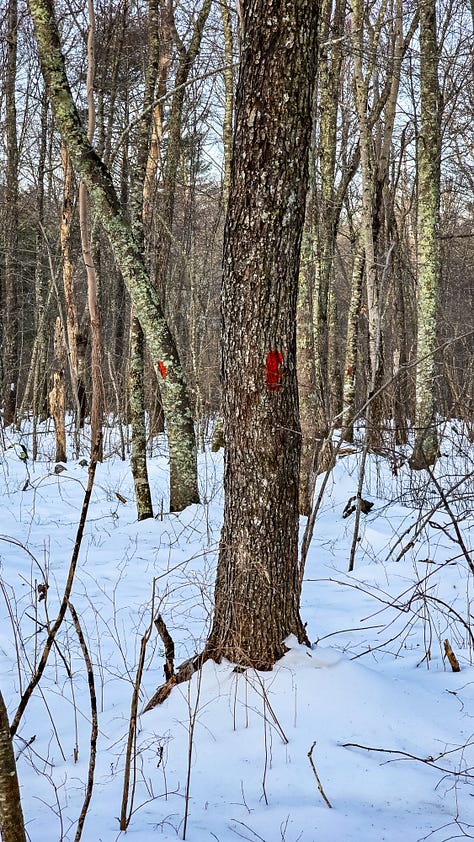
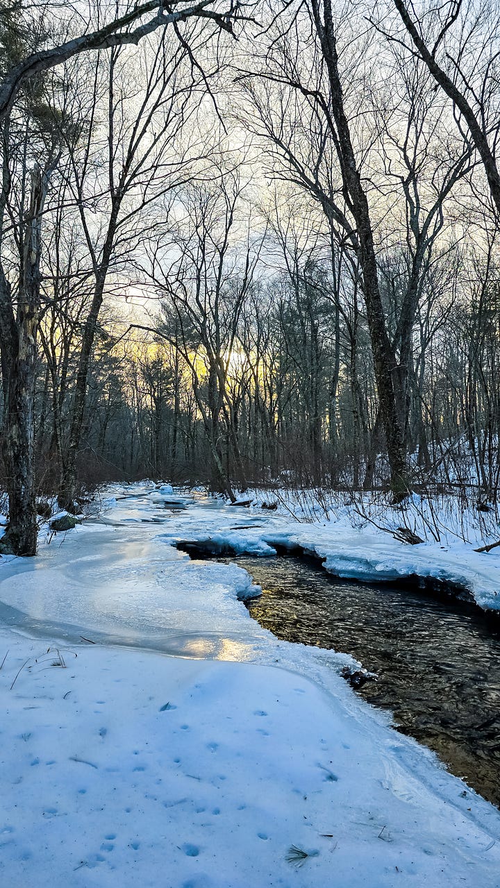
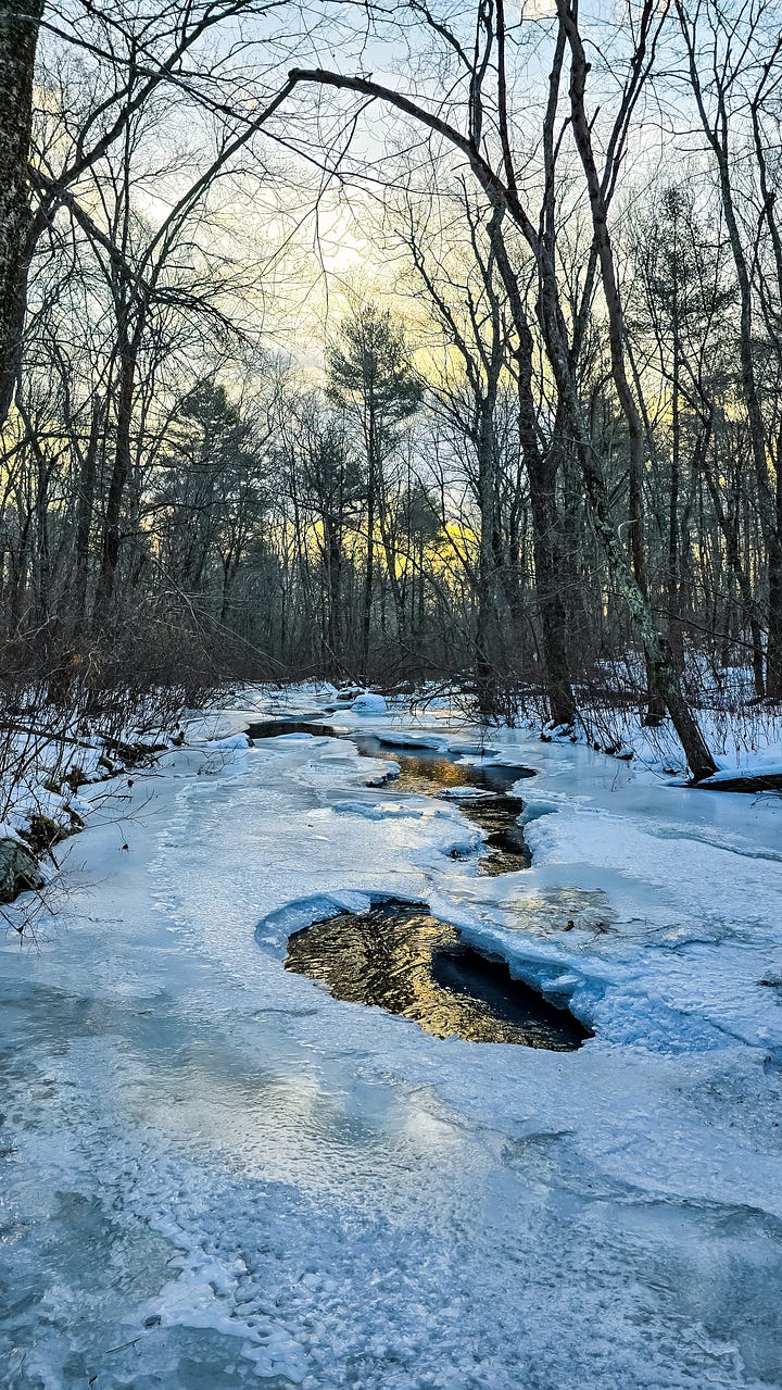
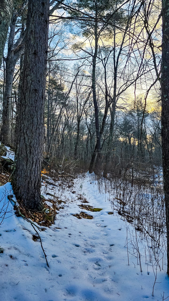
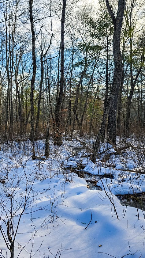
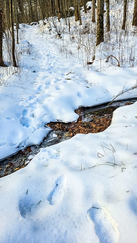
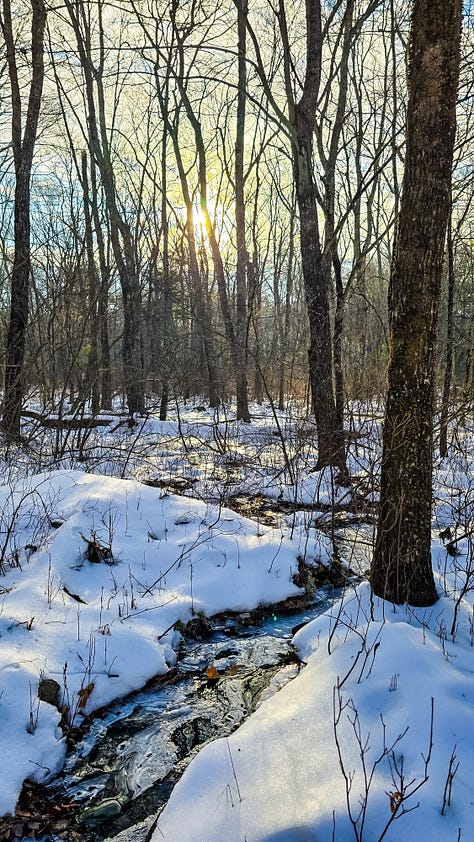
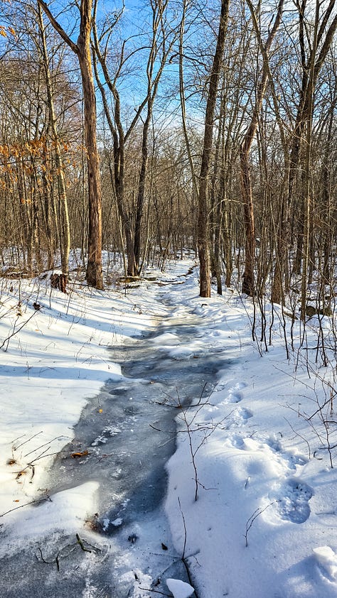
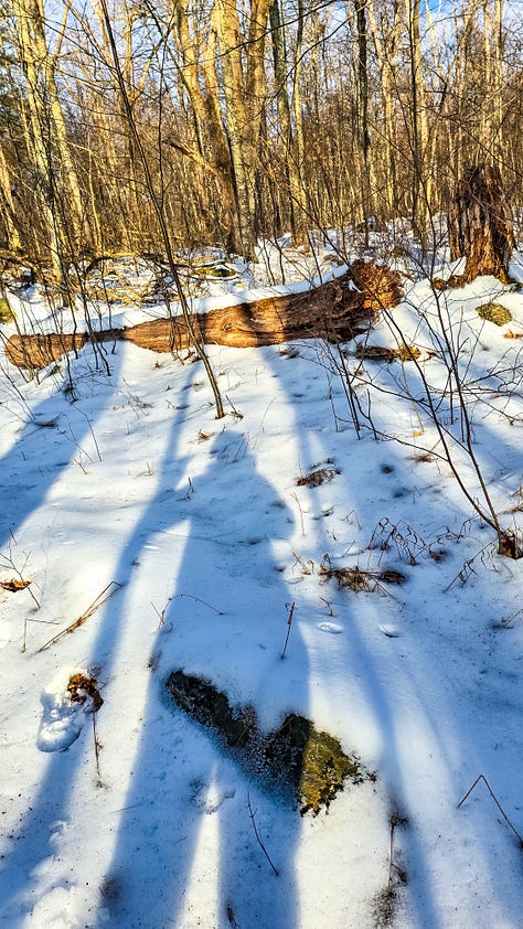
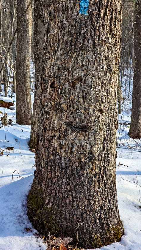
There was still plenty of snow on the ground, crunchy and iced over but not slick as I started off on the yellow trail. I am led through a variety of trees, some empty some still green. It is sooooooo quiet here, and there was so much light through the trees, with almost gradient glow. I intersected with both the Blue Trail and the Red Trail, but pressed on over the Yellow Trail and I am so glad I did. The sun was rising slowly and the sky glowed yellow and gold through remarkable trees. The Ponaganset river was getting closer in view as I sloped downhill.
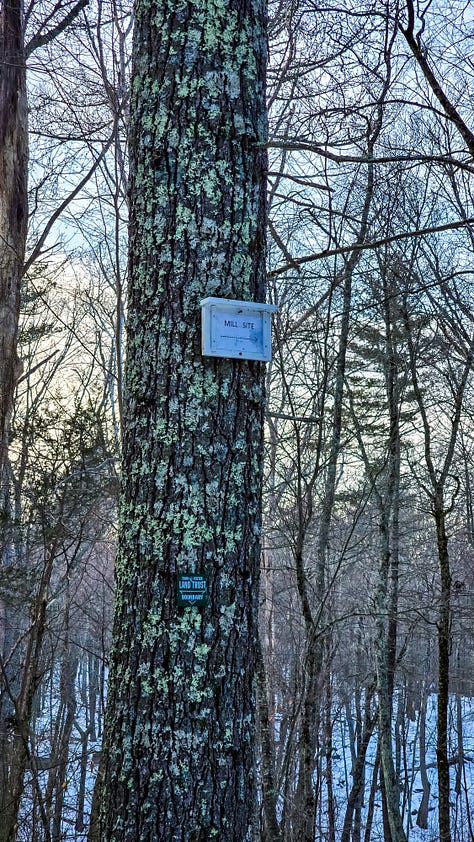
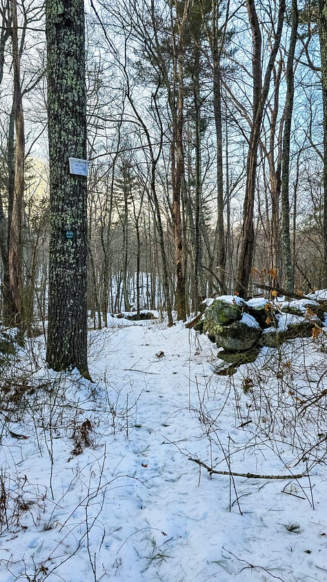
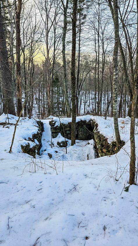
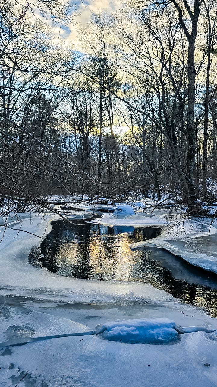
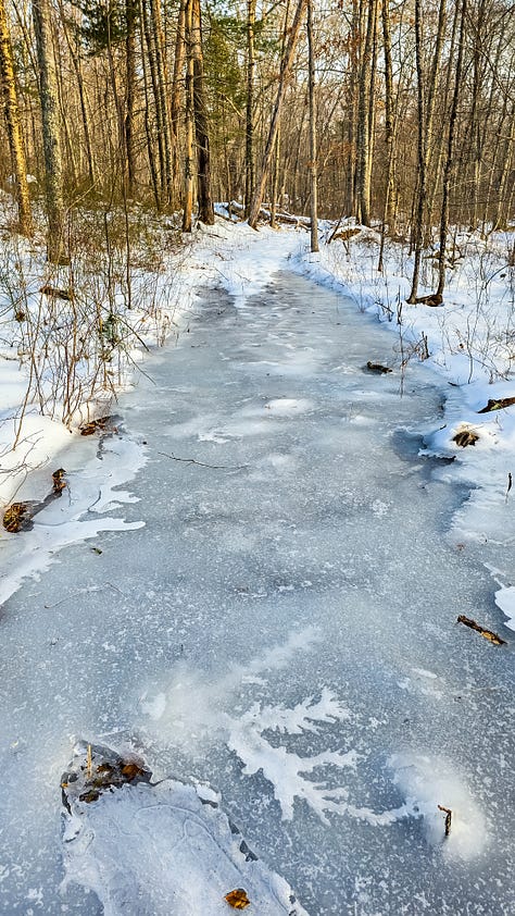
A tree sign indicates a “Mill Site” but offers no other information, so naturally I went that way. I passed old stone foundations, and multiple stone wall intersects, harkening to years gone by when Thomas Hopkins and his sons lived and worked the Ponaganset River for a gristmill in the 1700’s. As I made my way around a few of the walls I saw there was a trail down to the river, and then came the sun gleaming on the icy water. The river lies between two slopes and had a natural build up of ice on the banks. It was so so so so amazing to stand practically in the middle of a river on an ice shelf. That definitely made the highlight of the trail system. Had I followed the unnamed trails down the river I’d have made it to a different trail system all together - maybe next time. I found the Red Trail - aptly named Rocky Trail - because it definitely was rocky as it slowly sloped back up the hill. The trees and rocks continued to impress me - it truly showed the variety of the landscape in the area. There are a few tributary streams to cross and one section was a complete ice luge (on an incline of course). I made it to the Blue Trail, and then back to my car.
I loved this hike, I would absolutely return here - even in the winter - especially to see the sun rising on icy waters again. This is a small trail system that can be made shorter or longer even by connecting to the other property. the elevations were gentle enough for beginners or kids - and its cool to learn some history along the way.
Thanks for being here with me,
much love,
Robyn


*I visit these places with deep acknowledgement that there was a time in history that this land was free and inhabited by the Indigenous people of Rhode Island. Every hike and story, I hope to include pieces of their legacy - I cannot go back in time - but I am fully aware of the privilege I have to walk in these regions as I am today.


This was such a rich and layered read. It’s fascinating how history leaves these quiet traces in the landscape—those stone walls and old foundations must have felt almost like ghosts of another time. I’ve never been to Rhode Island, but this made me want to explore it someday. Thank you for sharing this!
Such beautiful pictures and the history, Robyn ❤️