Blackall Family Preserve & Ballou Farm Preserve
love the state you're in 11/39
Blackall Family Preserve & Ballou Farm Preserve, Cumberland, Rhode Island
Route: Blue Trail, Red Trail, Yellow Trail
Length: 3.43 miles Elevation: 259 ft Time: 1:45 hrs Rated: easy to moderate
Dogs: yes Kids: yes
Date: 3-22-25
History: The northernmost town of Rhode Island was once a territory shared by the Wampanoag and Narragansett people, a stopping place along their seasonable migrations - chosen for its proximity to the might Kittikuck river and geological features. It is believed the subtribe Pokonaket of the Wampanoags were the main inhabitants, with reports of two known villages near present day Ash Swamp and Diamond Hill. Geologically speaking, the area that Cumberland encompasses is the most varied of Rhode island with the worlds only source of Cumberlandite, a relatively mysterious mineral. In other areas the land is scattered with zinc, copper, iron, and titanium deposits, making it an ideal area for the Native Americans to mine for tool making. In 1984, an archeological site called the Sassafras Site was entered into the National Register of Historic places for the discovery of an ancient quarry some 3-5 thousand years old of quartz and quartzite.
Cumberland was initially part of the Plymouth colony out of Massachusetts - basically the outskirts of their “land deal”. the first English settler was the solitude seeking William Blackstone, the namesake of the Kittikuck River. Although a few settlers followed, it wasn’t until King Phillips War ended that the outermost edges of Plymouth Colony became appealing to inexperienced Pilgrims. Cumberland is most famously the site of “Nine Mans Misery” during the last battles of the War - after their fellow soldiers were killed along the waterfalls of the Blackstone, they fled north to the forests seeking refuge. Instead they were hunted down and tortured for days, led by the sachem Canonchet.
The end of the war brought a steady stream of settlers to the area, still under the rule of Plymouth County. The settlers found the farmlands to the northwest adequate for sustaining families; while others harnessed the power of the river and mined for minerals. It was known as Attleborough Gore (who names these places?) until 1747 when it was annexed to Rhode Island, then finally in 1837 the final drawing of boundaries formed what we know today as Cumberland. For years Cumberland has thrived as a mix of rural open space to the northeast along the Massachusetts borders and industrial ventures along the Blackstone River in the southern regions. When it was time to choose a hike, I had seven to choose from, which was a breath of fresh air away from other parts of Providence County.
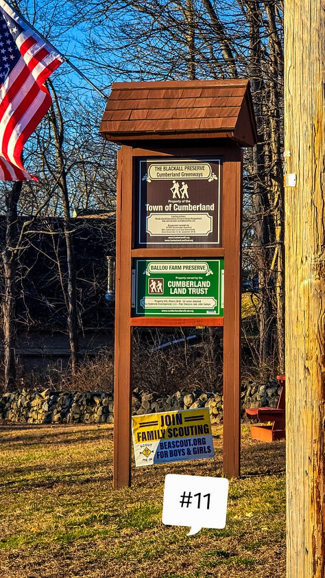
The hike: In 2018 the Cumberland Land Trust acquired 184 acres of land from Blackall Farm which was established in the 18th Century. The family/current owners had attempted to sell two portions of the land to a developer. One was sold to CVS for a headquarters, and from what I read, the other was offered to another, the town pushed back on this idea and they turned to preserving the land instead. Cumberland Land Trust now owns and actively maintains the trail system.
I started at the trailhead at the corner of West Wrenthem Road and Old Wrenthem Road which is adjacent to the Blackall Farm. I couldn’t find much information on the history of the farm, but I hear the Land Trust offers some guided walks a few times a year so that might be interesting to participate in. It is the tail end of stick season too so greenery was hard to find, the trees are only just beginning to think of waking up.
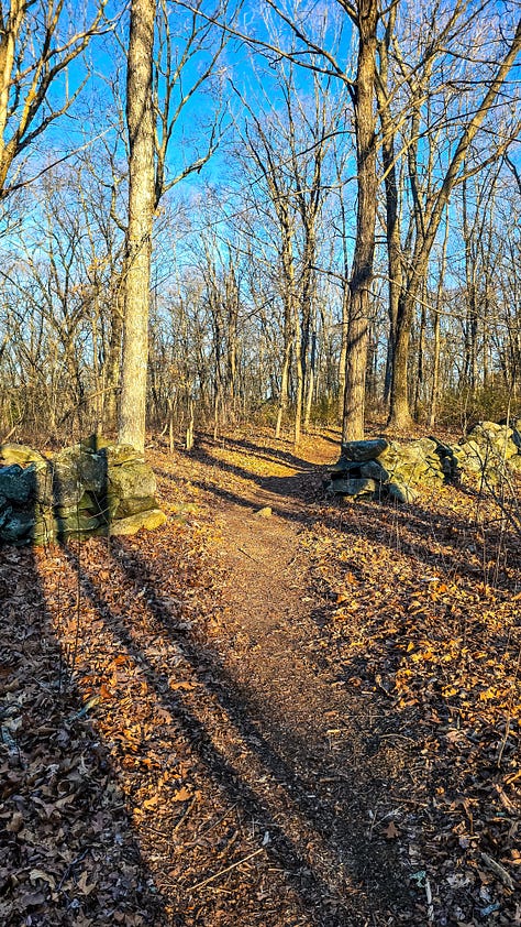
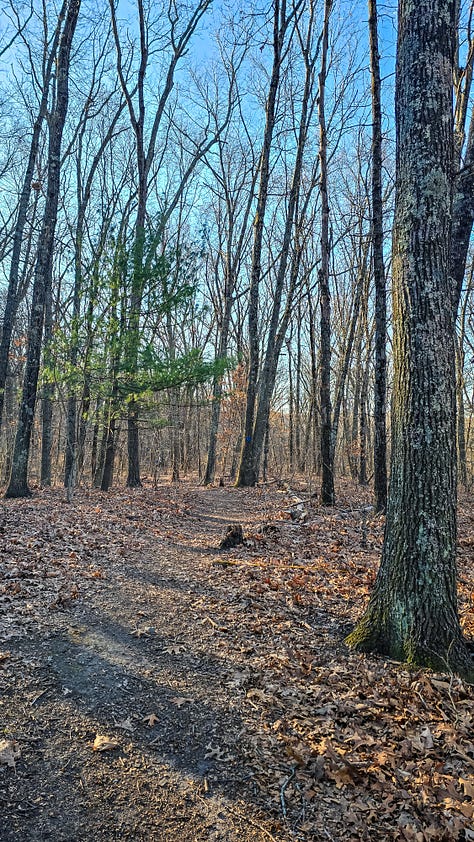
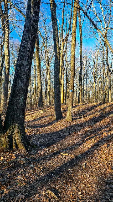
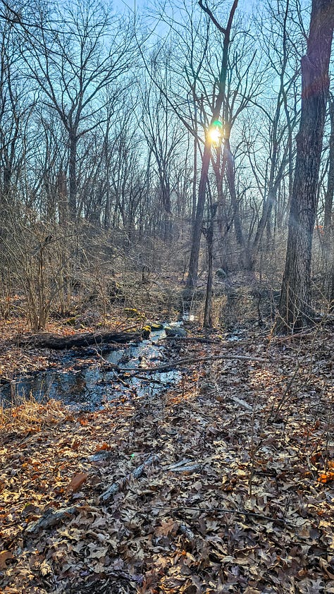
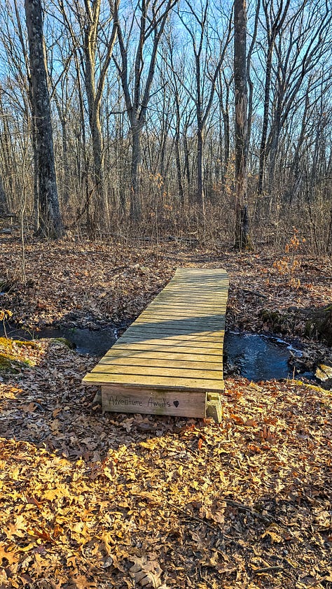
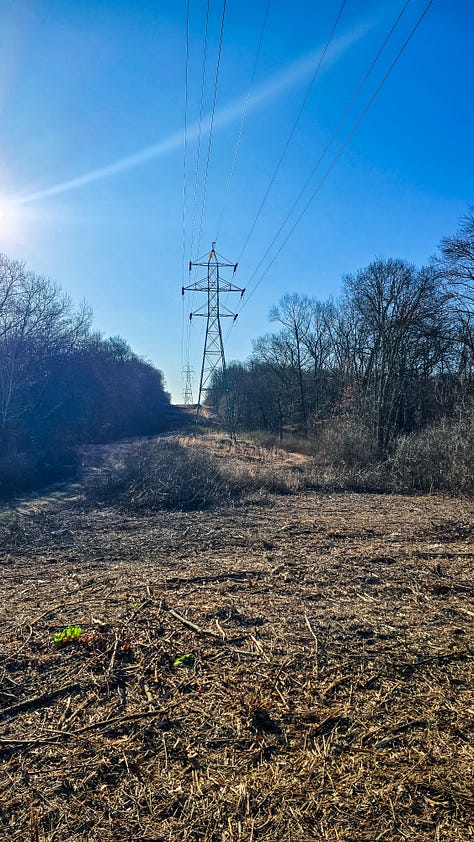
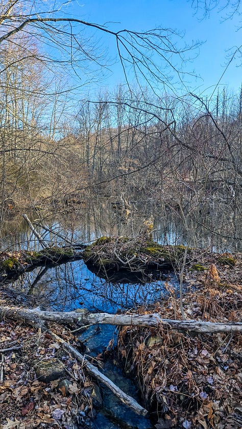
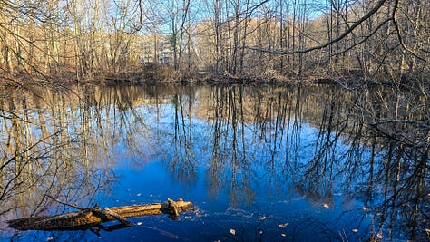
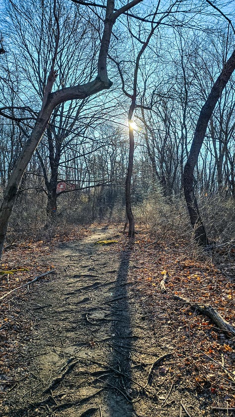
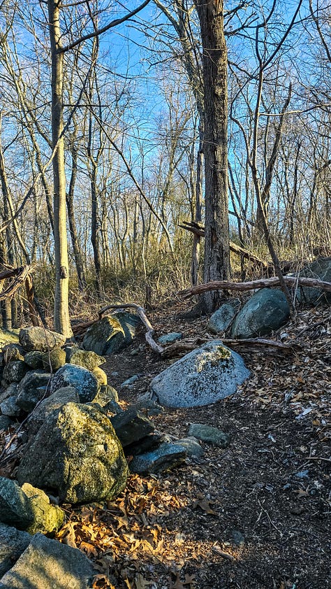
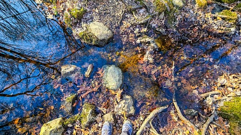
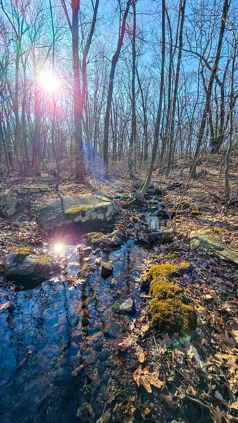
Almost immediately on the Blue Trail I am going up a gentle slope carpeted with fallen oak leaves and flanked by rambling stone walls. This portion of the trail was quiet and unremarkable until it reaches a small stream and vernal pool. As a farm, these pools would have been cultivated or just capitalized on to water the animals in their pastures. There is a really pretty spot with a moss covered footbridge that leads to an unmarked path around one of the pools. I’m not sure it’s part of the official trail but I walked it all the same, I love a good mossy moment. The trail inclines and crosses the ever present “powerline” section with grand views of grasses the bluebird sky. Back under the trees it then winds flanks more streams and pools as the incline steepens.
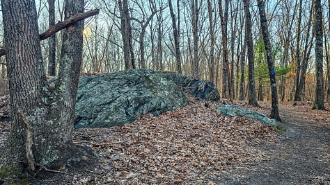
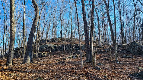
There is an intersection next, which is a connecter trail to the Ballou Preserve section. If someone needed a short hike or the kids gave up and gave out, it’s a perfect turn around spot. The short Red Trail then merges with Yellow, this is a very well marked area. I am almost immediately met with a pretty stream and crossing while following more rambling stone walls. The elevation in this part is abrupt and steep going down and then right back up again. There are so many rock boulders and natural or maybe unnatural piles and groupings of rocks. I crossed a gas pipeline easement, then have a view of a water tower adjacent to a development (maybe a propane storage unit - I’m not actually sure) and then there is a gentle slope back down again into the heart of the trees.
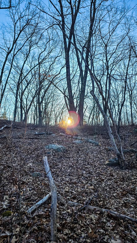
After all these elevation changes, the back half of a hike was less enjoyable. I don’t really love that burned out can’t wait to get back to the car feeling. Thankfully, the trail was pretty unremarkable from here and I found my way back to the Red Trail, then the Blue Trail again to go back to my car. I feel like this trail is one I’d prefer later in the spring season or fall when the trees are filled in and more colorful. I find myself really aching for Spring to get its act together, not just from the cold, but for the greens and softness that Spring is.
This trail is a great one for families, although go when there are leaves on the trees. You can make this hike shorter or longer very easily, and it’s very well marked. I would love to see more history of the land posted somewhere or along the trails - the echoes of farm life are very quiet here. Dogs are allowed here, but they request your furry friend be leashed.
I would go here again, maybe as part of a Land Trust event so I can find out more about its history.
Thanks for being here with me,
Robyn








*I visit these places with deep acknowledgement that there was a time in history that this land was free and inhabited by the Indigenous people of Rhode Island. Every hike and story, I hope to include pieces of their legacy - I cannot go back in time - but I am fully aware of the privilege I have to walk in these regions as I am today.


