Tillinghast Pond Management Area, West Greenwich, Rhode Island
Route: Bates Loop Trail
Length: 2.23 miles Elevation: 167 ft Time: 1:48 hrs Rated: easy to moderate
Dogs: yes Kids: yes *hunting is permitted seasonally in state managed areas - please check ahead of time if wearing safety orange is needed.*
Date: 5-25-25
History: After thousands of years in an Ice Age, glacial ice retreated north, and sea levels rose, changing the landscape and the civilization for generations to come. The land encompassing modern day West Greenwich was carved out of granite, forming ledges and outcroppings with miles of forests. The Narragansetts and surrounding tribes lived a nomadic life, returning to this area seasonally taking shelter in the rocky ledges and deep wooded land. One location is known to be Rattlesnake Ledge in the Wickaboxet (at the end of a small pond, Narragansett) area, which is another area of land that is awesome to hike through.
With roots that began shortly after the end of King Phillips War, western portions of the original Greenwich was not always an attractive place to live for early English settlers. The land was too rocky, the soil weak and needed years of tending to be fertile. The western half of Greenwich was isolated, with few roads and access to easily travel. Clearing land to create roads and farming fields was an insurmountable task, and only a few farms were truly successful. Settling was slow over the first hundred years, as there was much confusion and corruption involving the sale of the land to Samuel Gorton. Initial families here were considered squatters and it took some time to secure the Royal Charter and official property lines. The book I have been reading about this makes no qualms in outing the corruption that has followed Rhode Island for far too long - sadly, it is still a problem today.
Some families managed to make the land work for them, establishing some success in animal husbandry and agriculture. Others capitalized on the resources of the trees and built sawmills along the rivers. Villages were small in comparison to other towns in the colony, and only one ever grew to be a proper one. The rest were hamlets and still are to this day.
Over the years, some transportation improved, with the addition of a key toll road New London Turnpike, which was for a few years responsible for a surge in access to travel and movement of goods. It started off strong, but then the tolls became too high and profit margins were low. One section of the road was lined with taverns and it became notorious for drunkenness, prostitution, and crime - and deemed the nickname “Hell’s Half Acre”. What’s left of those taverns now is ruins. Though it ended in failure this road still exists today, some rebuilt with modern sensibilities and one section cutting through a popular hiking and biking management area.
Over the years, the distinct lack of a real direction for the town, West Greenwich remained desolate and impoverished for most of its residents. 20th century road improvements led to a large influx of growth for the town, with multiple suburban neighborhoods in new builds on old land. In terms of seclusion, space, and proximity to the highways, West Greenwich is an attractive place to live. (I want to live there!)
Despite the challenges with transportation and lack of industry in the town, several prominent families did manage to make their mark over the years. Tillinghast Pond Management Area was named for the Tillinghast family, one of the original settlers Pardon Tillinghast and his descendants. The Bates Loop featured in this walk was secured from a descendent of the Bates family, who had also married into the Tillinghast family some generations ago. All in all, this area spans just over 2200 sq. feet - a huge gift in preserving nature. These are ultimate life goals for me.
The hike: Let me start this off by saying: this area is allegedly haunted, with a few different stories that have us believing there was a witch hung near the old trailhead gate, a mob hit/shootout, and the occasional red-eyed dog. I love a good spooky story and vibe, but in full disclosure, there was no spook to be found here. If the scary stuff happens after dark, I wasn’t there for it.
The Bates Loop is a part of the Tillinghast Pond Management Area, a newer addition after 2000 anyways. This management area boasts just over 13 miles of trails and encompasses 2,200 acres, and is the largest coastal forest from Massachusetts to Washington D.C. I chose Bates Loop over the other ones because it is shorter in mileage and more gentle too.
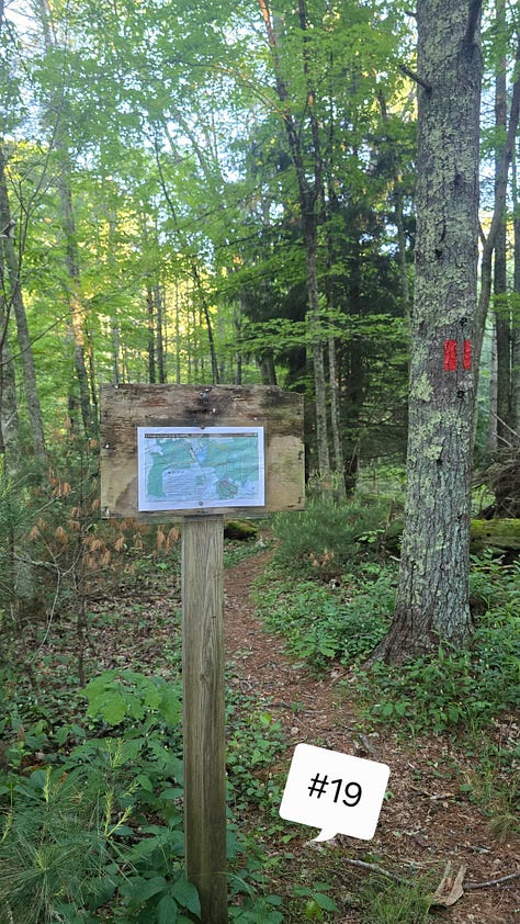
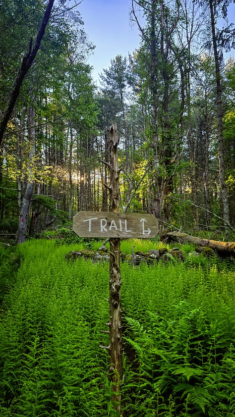
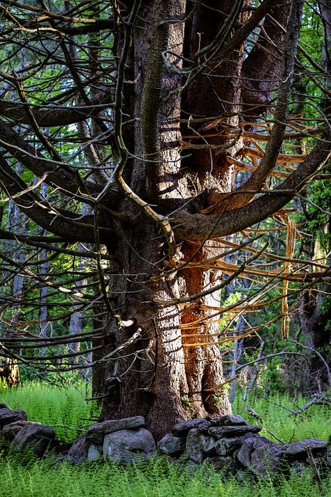
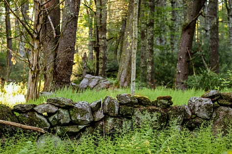
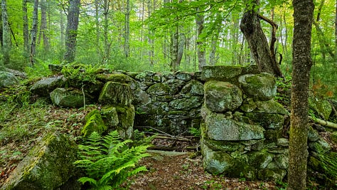
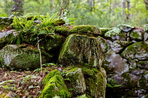
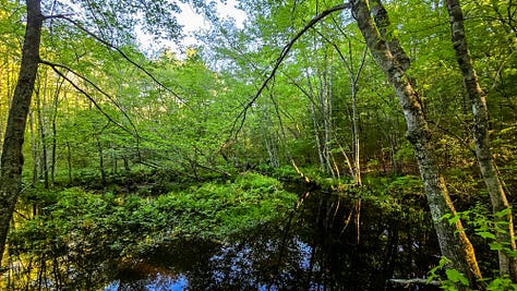
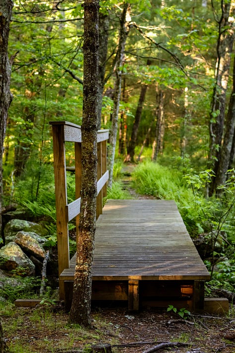
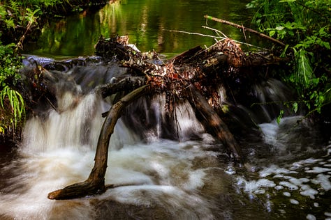
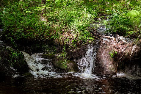
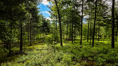
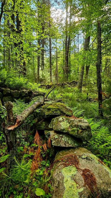
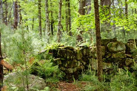
I began at the trailhead that is known as Hell’s Gate. There used to be a gate here, I’m unsure of when it was demolished; but this is supposedly where a witch was hung. Ah, the good old days. I chose to veer right at the intersection I am met with almost immediately. I’ve been here before so I know this leads to the brook. This trail is one of the prettiest in Rhode Island honestly. It is flanked by young pine and older pine and oak right behind them, the layers of trees make sure incredible light in the early mornings. The ferns have grown in the past couple of weeks, filling in the ground with even more green. There are beautiful stone walls, and a foundation harkening to the past life of this land as a homestead. This is a gorgeous foundation example, honestly this whole section is lush and sumptuous with so many interesting trees and green on green on green. The trail winds through more pines and closes in a bit as I get closer to the rush of Phillips Brook in the distance. At Phillips Brook there is a small wooden bridge that is a really nice spot to take pictures. I follow the trail along the brook, the water is so pretty after all the spring rain we have been having and there are a few drops that make little waterfalls. A stone wall follows the left side of the trail, it is just so beautiful.
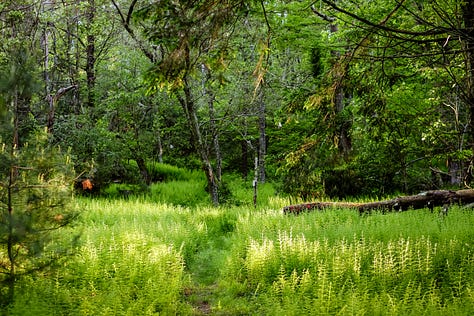
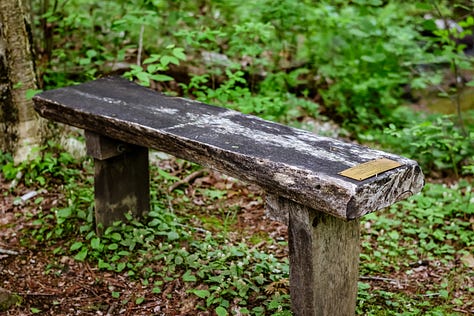
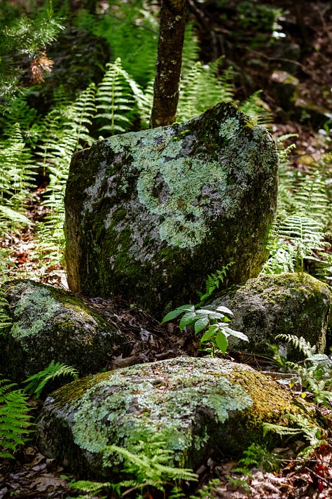
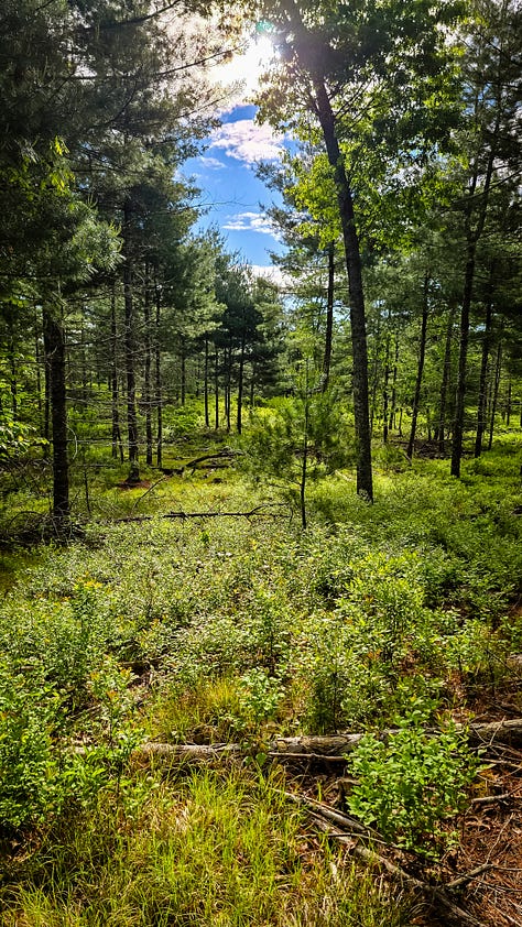
At the next intersection I make my way to the right which starts off immediately with a wooden bridge and bench for rest. The foliage begins to thin. There is a large rock that looks kind of like an anvil. I start to see the open sky, its so blue against the green. The trees in this section are younger growth, and more sparse, with field grasses mixing into the green of the ferns. I took like a million pictures in this section. Next is an old cart path from the farm days and I follow this back into the thicker forest. I didn’t see it today, possibly because the green ferns block a lot, but when I was here in the winter a few months ago, I can definitely see where the spooky vibe comes from. Through the trees there are distinct fallen trees and small boulders that look creepy from the corner of the eye. We can always pretend.
The trail then turns south again towards the brook and I am walking on the other side of it. Again, a million pictures and a million pretty little things to capture. I cross the wooden bridge from earlier, and head north back towards the trailhead, past the foundations and walls, and to my car.
I can’t say enough about this hike. I hope I have room in the email for all the pictures because it deserves all the recognition. This is a hike to be enjoyed in all seasons. Perfect for dogs and kids, (maybe not toddlers but you can certainly shorten it and only visit the brook). Since this is a state management area, hunting is allowed in certain seasons, so wear your safety orange!
I will absolutely return here again and again and again.
Thanks for being here with me,
Robyn
